Today Matsalu National Park celebrates it's 20th birthday. On May 10, 2004, Matsalu Nature Reserve was given the status of a national park.
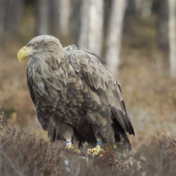
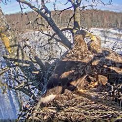
The predecessor of the national park, Matsalu Nature Reserve, was established in 1957 to protect birds and their nesting, moulting and stopover sites.
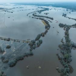
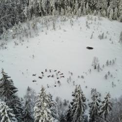
Besides birds, Matsalu National Park aims to protect landscapes characteristic of Western Estonia and the cultural heritage of the Väinameri Sea region. Matsalu National Park is characterized by open coastal areas, where man and nature have lived in balance hand in hand for centuries.