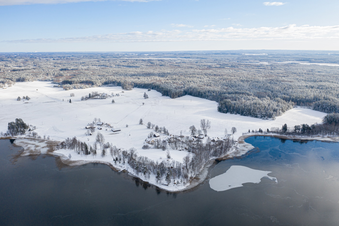
The smallest (surface area: 123 km²) and hilliest national park in Estonia, Karula National Park is located in the Karula Uplands, on the borders of Valga and Võru counties.
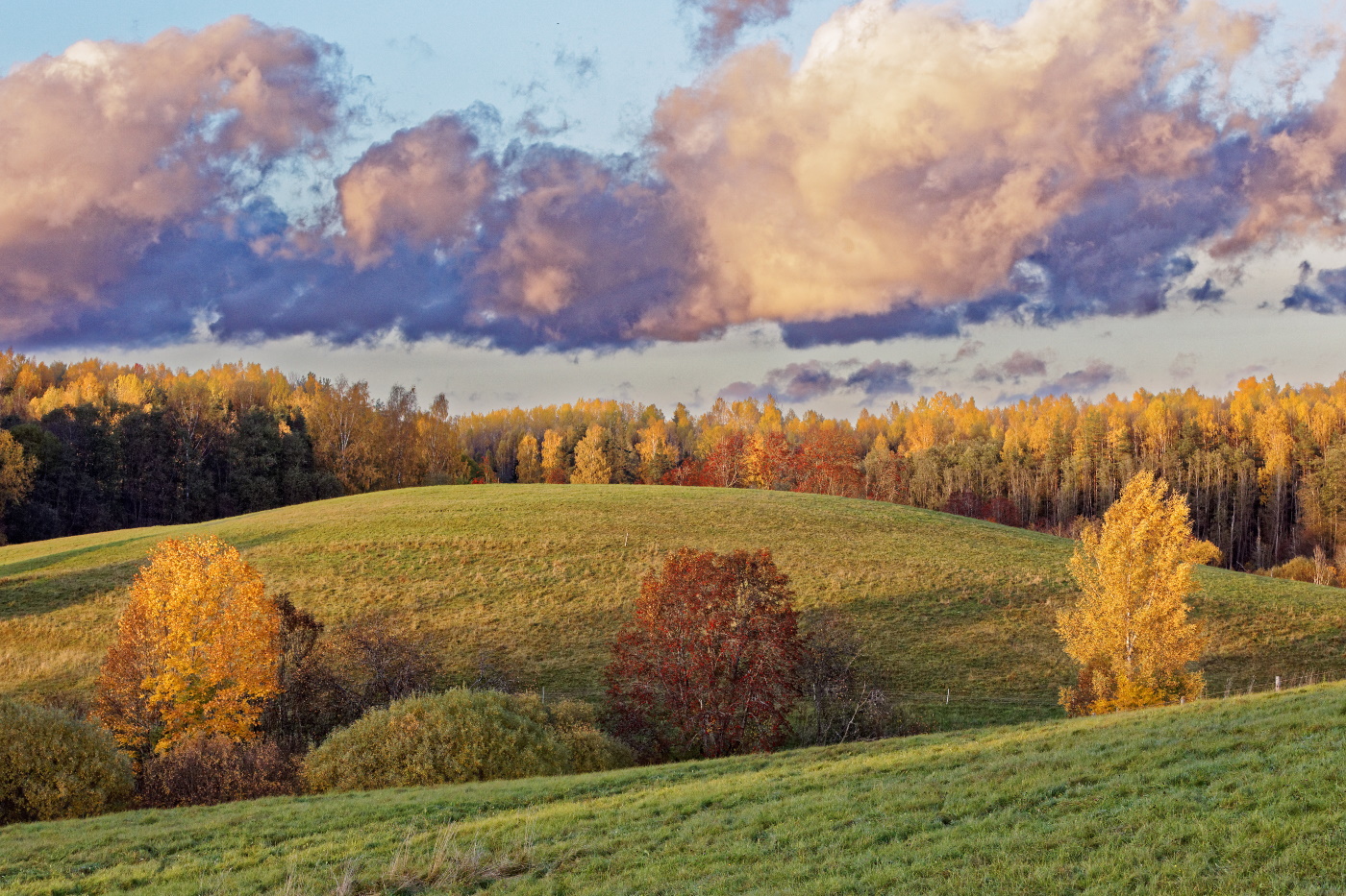
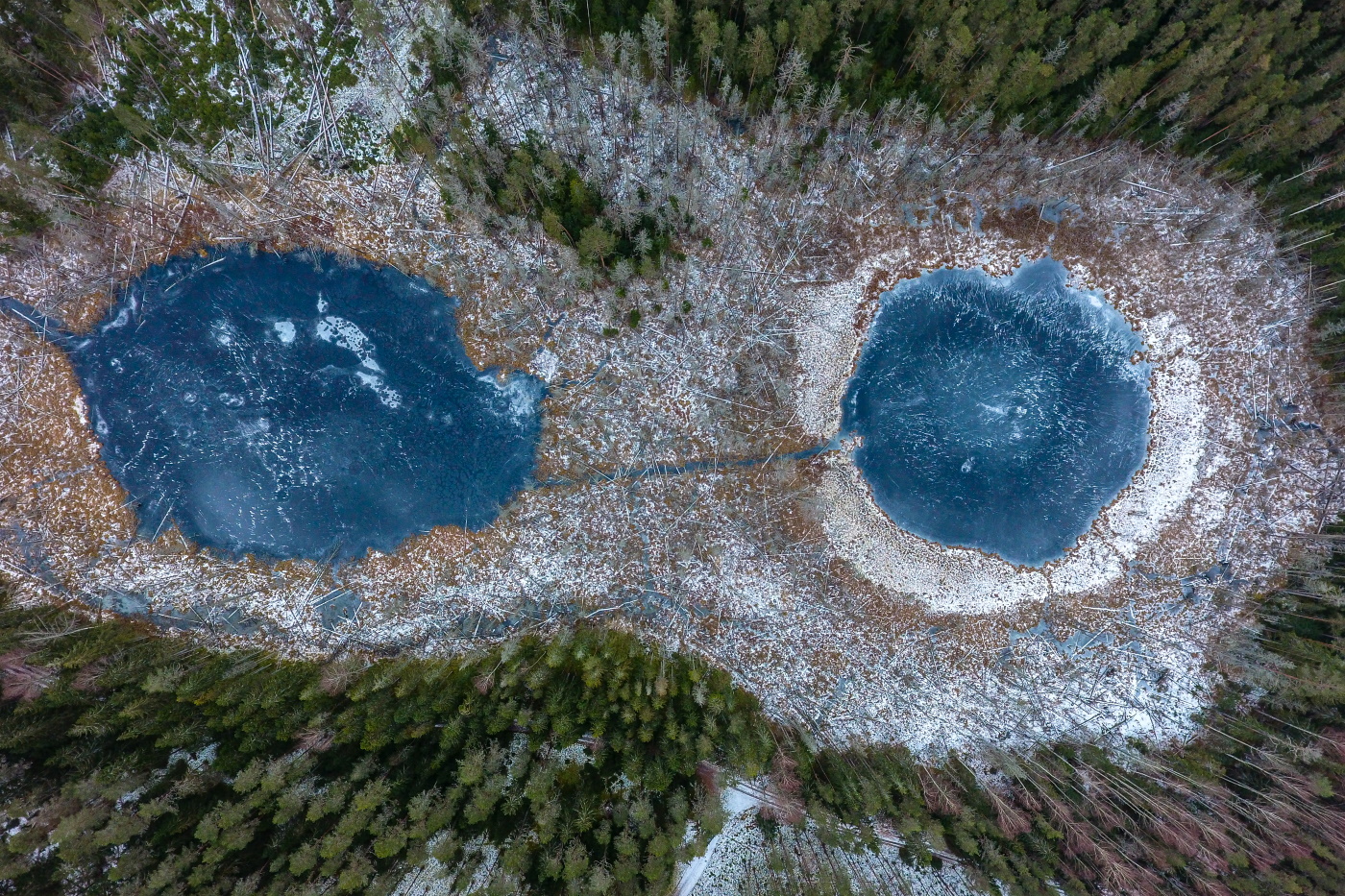
The unique, beautiful terrain of the Karula Uplands formed more than 10,000 years ago as a result of the action of glacial ice. With the continental glacier retreating, the northern section of Karula came to feature predominantly dome-shaped kames, or hills covered with fields, grassland or forests. Kames are separated from one another by small, wet meadows, forest stands, patches of marshy ground and lakes. The hilly section of the national park is its most densely populated area. The southern part of Karula features groups of eskers and kames with mires and forests, where human settlements are quite rare. The highest point in the uplands is Tornimägi Hill (137.8 m) in the village of Rebasemõisa. The Karula Uplands boast 60 lakes, of which 40 are located in the national park. The largest among them is the picturesque Lake Ähijärv (176 ha) with its winding shoreline, next to Ähijärv is Karula National Park visitor centre.
Karula is the name of a former parish, thought to come from the word karune, or rough. This word perfectly describes the region, which abounds in wooded hills difficult to access or cultivate.
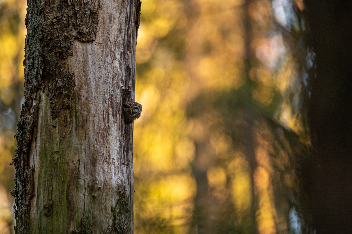
The varied terrain of Karula was placed under national protection, with the original landscape protection area being designated a national park in 1993. The park was established to preserve the natural environment found in the hilly landscapes characteristic of Southern Estonia, where forests and lakes abound, as well as species under protection and the cultural heritage of the area.